State Hydrography

70 years
safety of navigation.

68
beacons and navigation signs

145
floating warning signs (buoys)

Latitude: 45°22'E
Longitude: 36°29'N

STATE UNITARY
ENTERPRISE OF THE
REPUBLIC OF CRIMEA
Kerch, Kirova Street, 28
Mo - Th from 8 am. to 5 pm.
safety of navigation.
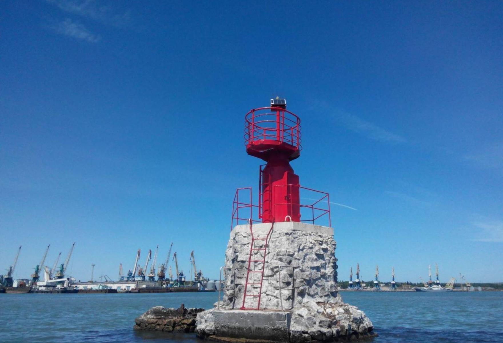
beacons and navigation signs
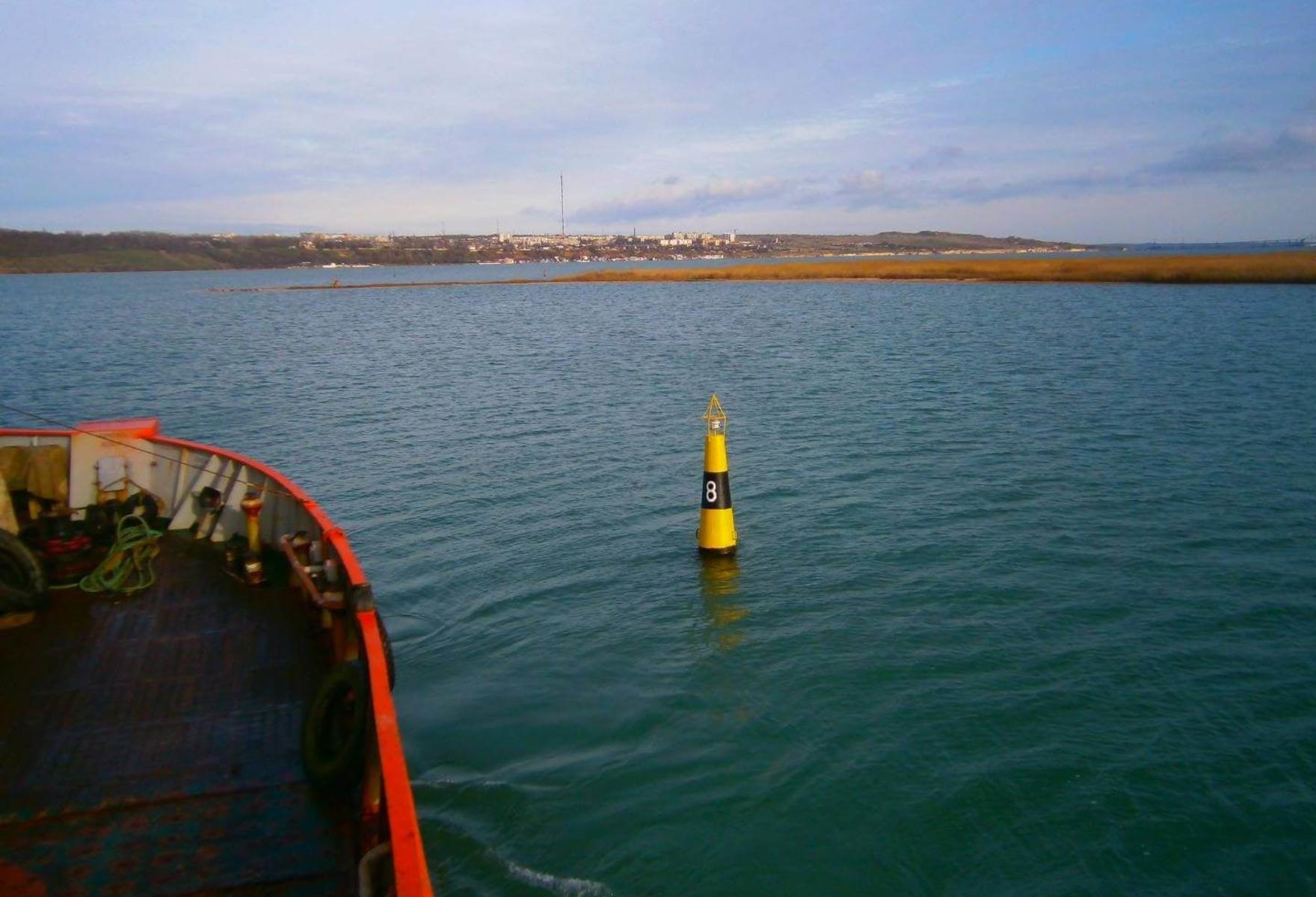
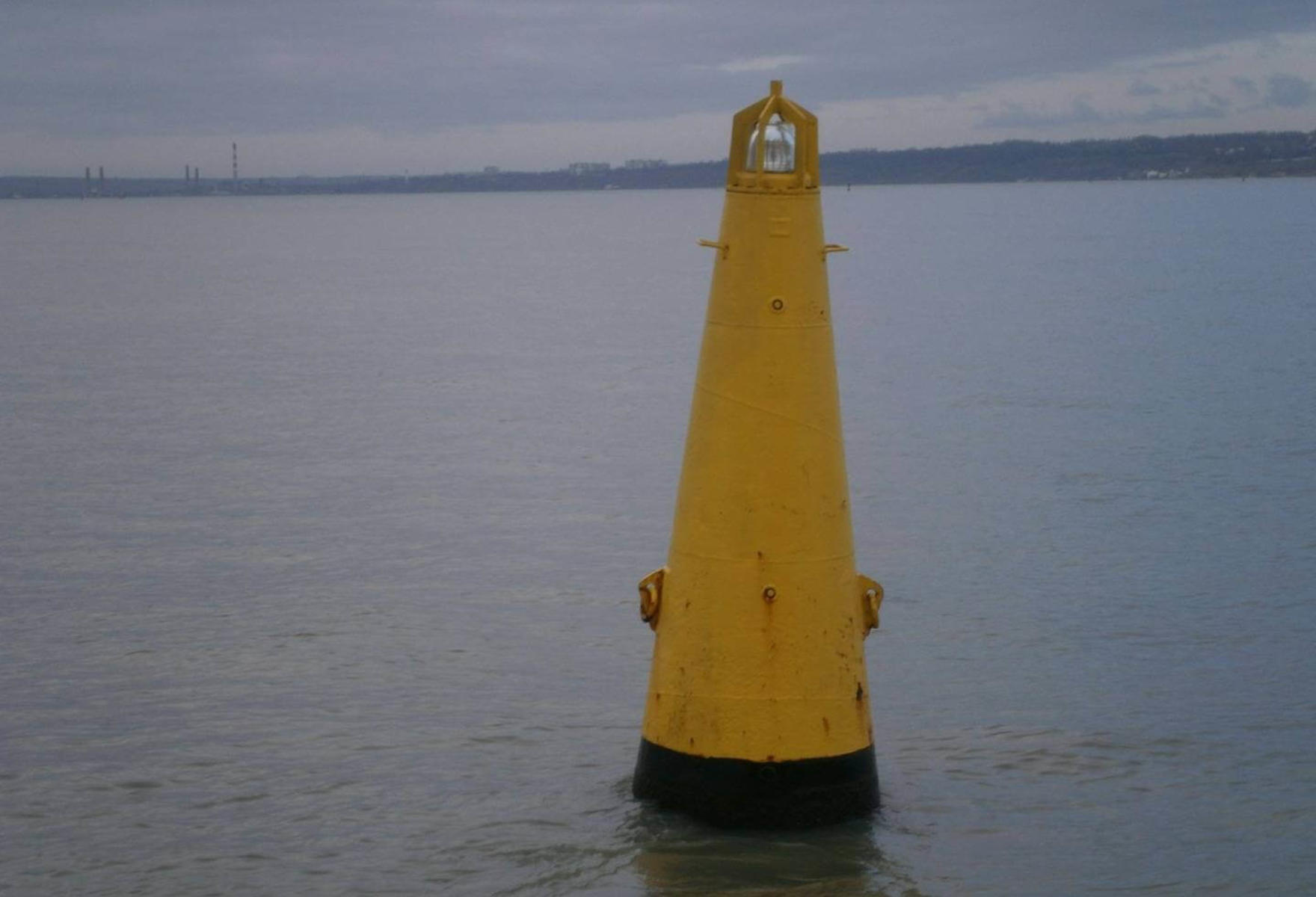
floating warning signs (buoys)
Latitude: 45°22'E
Longitude: 36°29'N
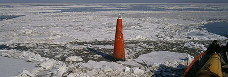
The branch of State Unitary Enterprise SUE "CSP" "State Hydrography" renders services in carrying out the equipping of water areas of ports and approaches to them, port stations, terminals, canals and other objects with onshore and floating means of navigation equipment. Ensuring the uninterrupted operation of navigation equipment in accordance with established operating modes. Conducting monitoring of the state of depths, relief of the bottom of water areas and canals. Measuring works before and after dredging of water areas.
-0x0-c2a_1956x1200_593.jpg)
-0x0-c2a_1956x1200_593.jpg)
-0x0-c2a_1956x1200_593.jpg)
-0x0-c2a_1956x1200_593.jpg)
-0x0-c2a_1956x1200_593.jpg)
-1920x1080-703_1956x1200_593.jpg)
-1920x1080-703_1956x1200_593.jpg)
-0x0-c2a_1956x1200_593.jpg)
Instrumental survey of the lateral view of the relief of the bottom of the water areas of ports, approach channels to ports, anchorages, hydrotechnical constructions by the sonar. Hydrographic support for underwater exploration, mineral exploration and other underwater works. Search and inspection of sunken objects. Correction of navigational charts, manuals and guides for swimming. Implementation of topographic and geodetic works:
building and development of surveying networks;
topographic survey;
Monitoring of deformations and deposits of buildings and structures.
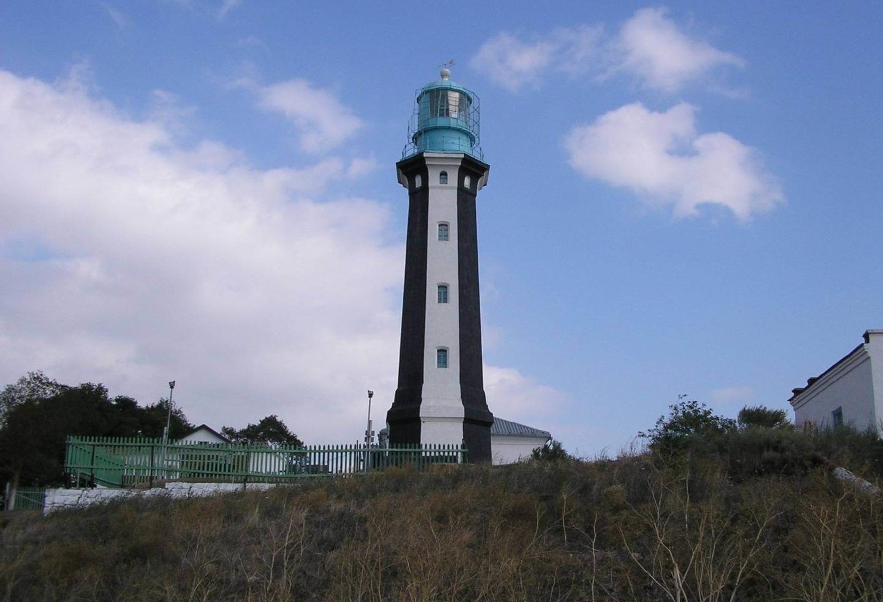
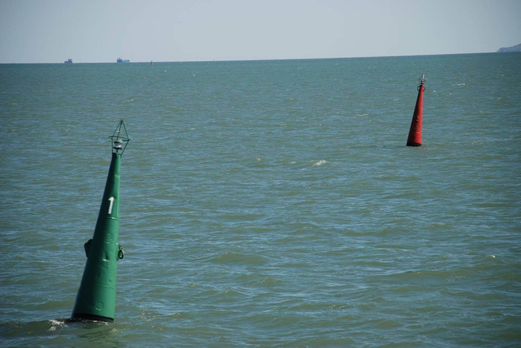
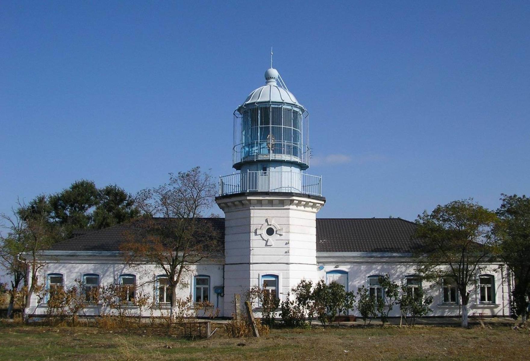
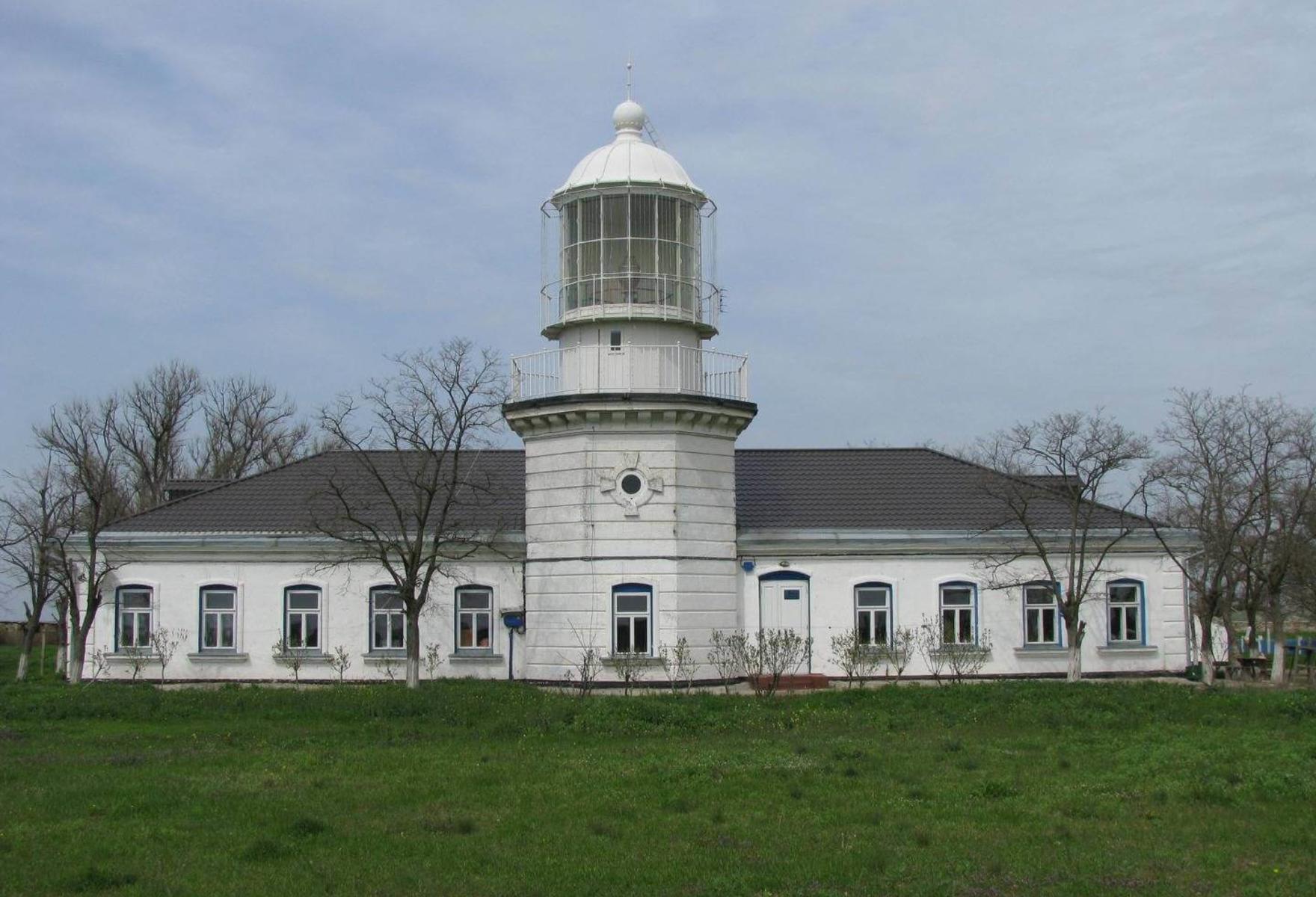
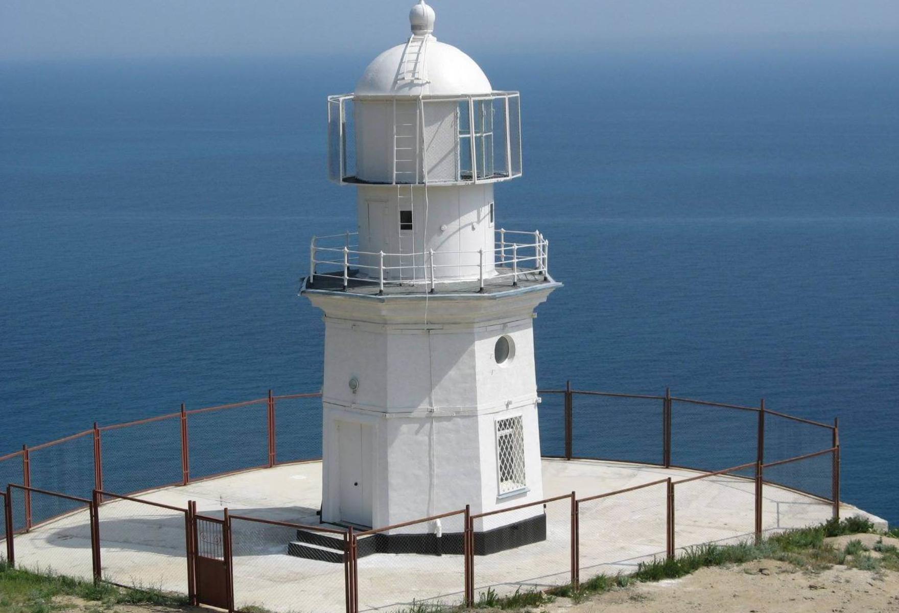
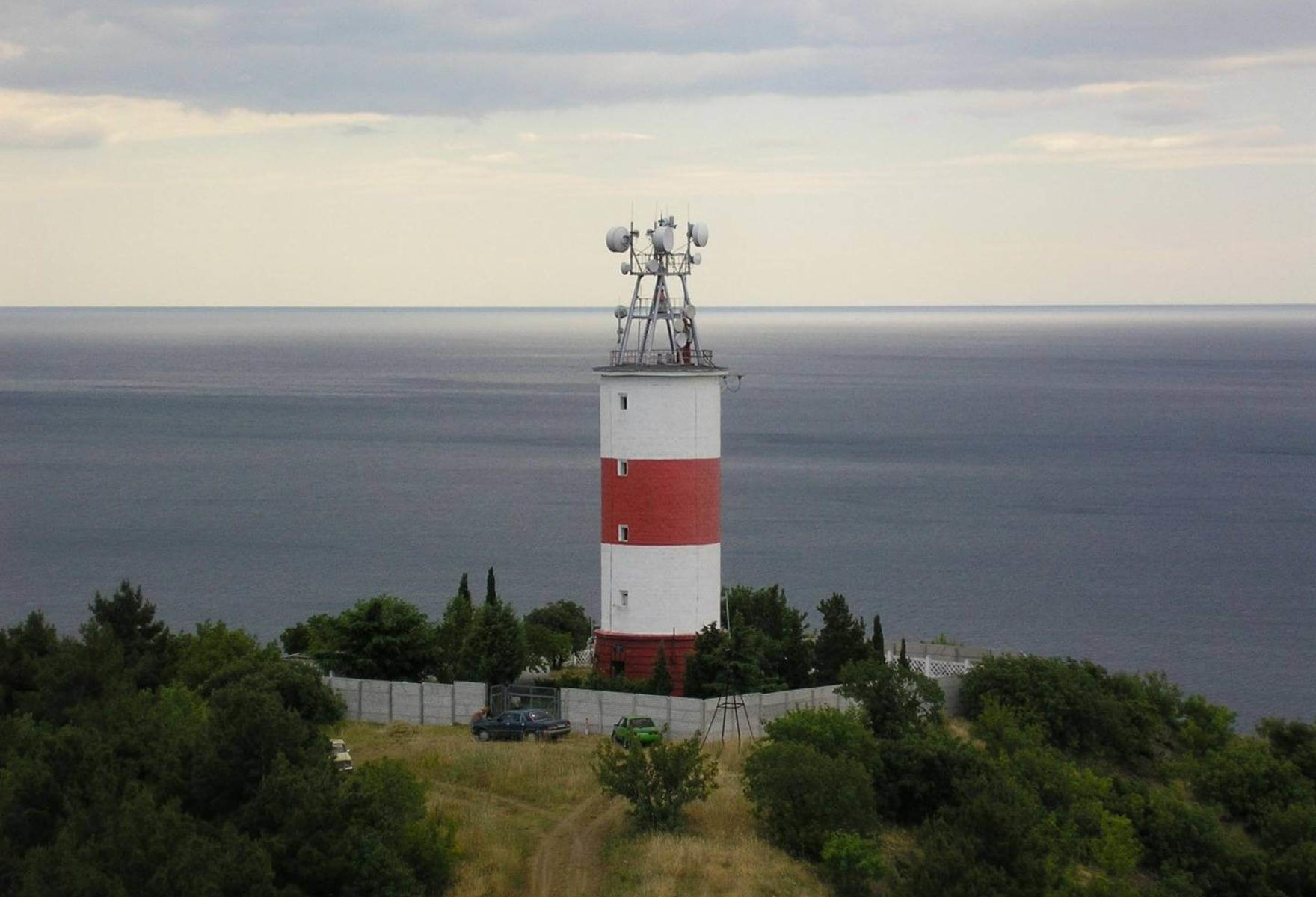
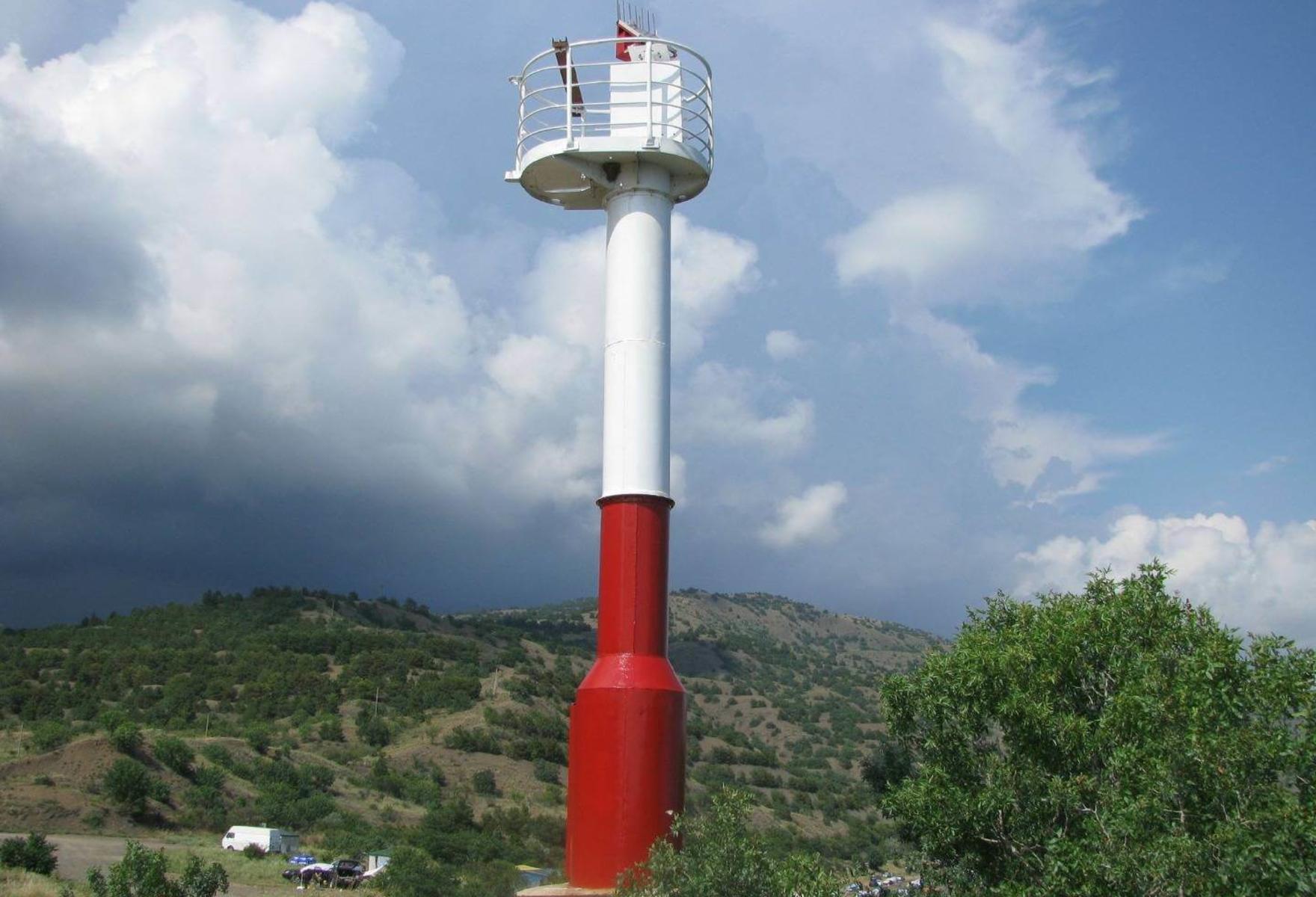
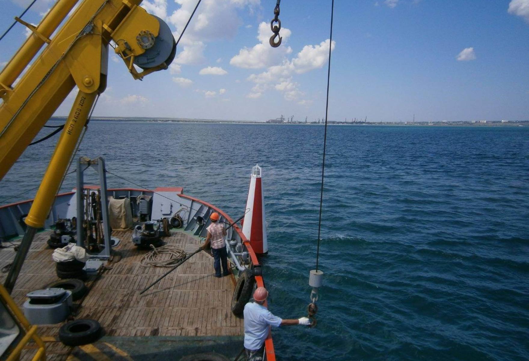
Branch of State Unitary Enterprise "CSP" "State Hydrography" is a specialized enterprise that has been working for more than 70 years in the field of maritime safety. At present, the branch of the State Hydrographic Service serves 68 lighthouses and navigation signs, 145 floating warning signs (buoys). Coastal and floating means of navigation equipment serviced by the branch are located along the entire coast of the Republic of Crimea, in the water areas of the ports of the Republic of Crimea and approaches to them.
The branch also serves navigation equipment that ensures the safety of navigation in the Kerch Strait, including along the Kerch-Enikal canal, and in the area of the transport crossing through the Kerch Strait, which are one of the most important transport corridors in the Southern Federal District of the Russian Federation.
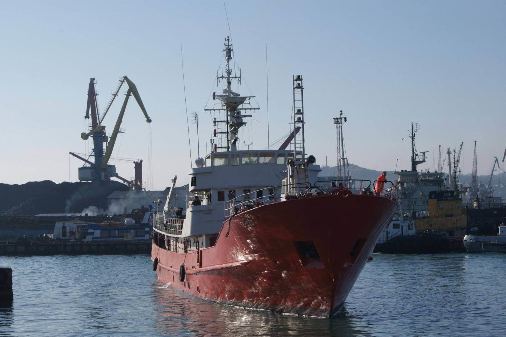
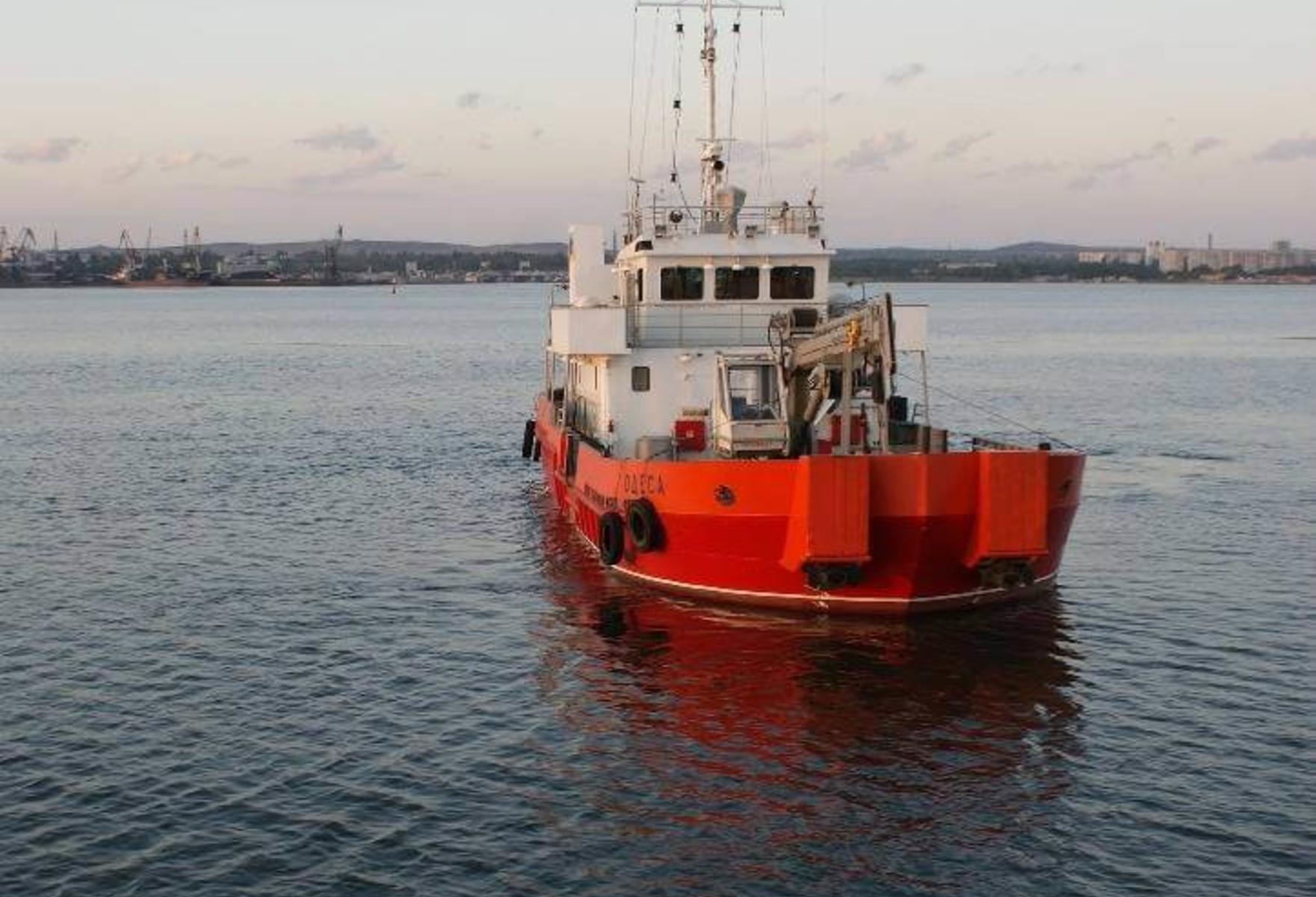
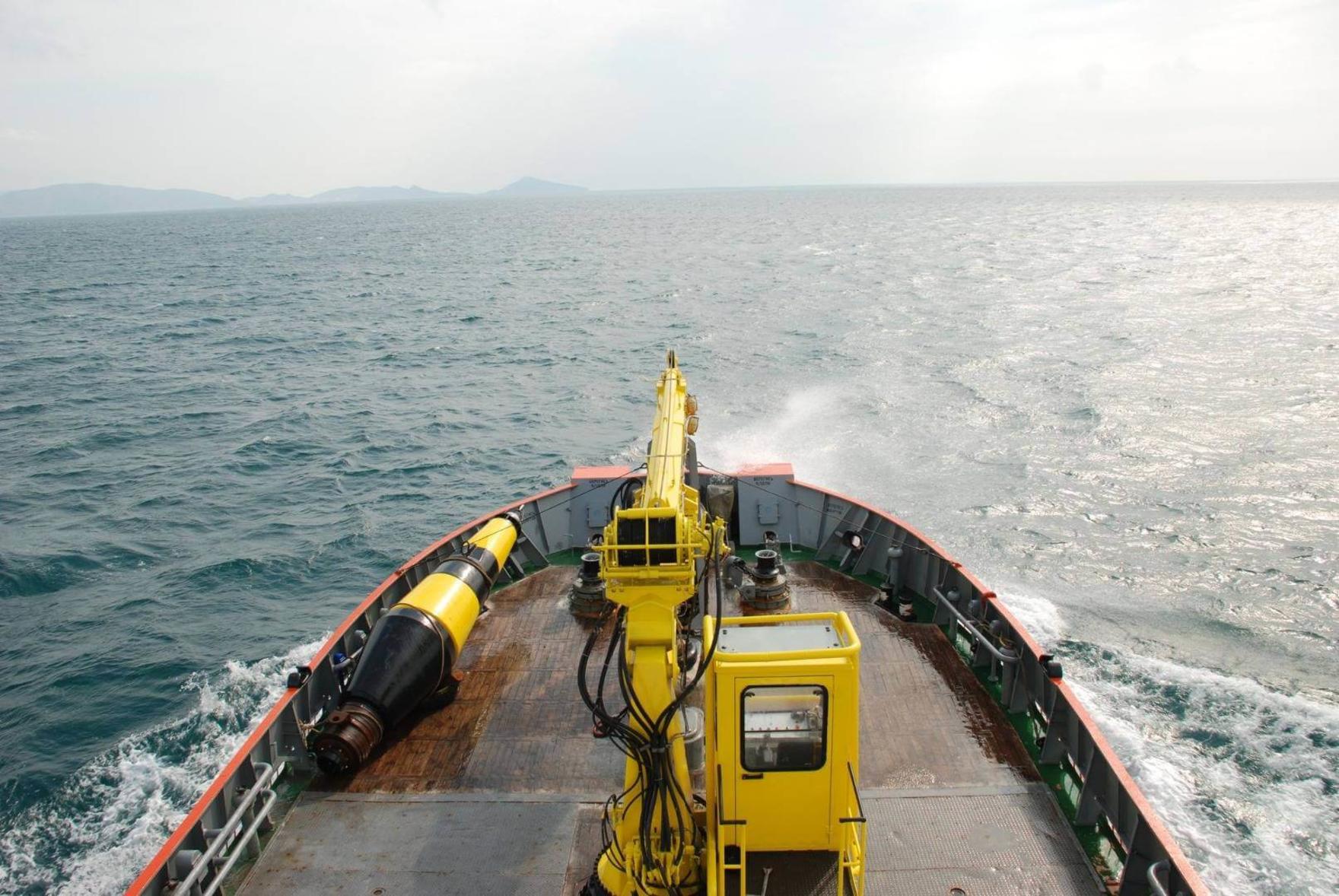
To solve the problems of ensuring safety of navigation, the branch uses two production bases, one of which is located in the city of Kerch, the other on the southern spit of the lake. Donuzlav. In its activity for the execution of pilot and hydrographic works, the branch uses the hydrographic-pioneer vessel "Odessa" and a small hydrographic vessel "V. Zarudny. " The branch includes the Coastal Radio Center of the Global Maritime Distress and Safety System (GMDSS) of the A1 region, which together with the marine coordination sub-center of Kerch provides rescue operations in the Kerch Strait and waters of the Black and Azov Seas up to 21 nautical miles from the Kerch Strait . The branch is a member of a self-regulatory organization in the field of survey and has a Certificate of admission to work as part of engineering geodetic surveys that affect the safety of capital construction facilities. The branch also has a license for geodetic and cartographic activities. The specialists of the branch carry out various types of hydrographic and topographic and geodetic works, both for the needs of the State Unitary Enterprise RK "CSP" and for outside organizations.


Equipment of water areas of ports and approaches to them, port stations, terminals, canals and other objects by coastal and floating means of navigation equipment. Maintenance and ensuring the uninterrupted operation of navigation equipment in accordance with established operating modes.
Conducting monitoring of the state of depths and relief of the bottom of the water areas of ports, approach channels and other water areas. Hydrographic support of dredging, underwater exploration, mineral exploration and other underwater works. Instrumental survey of the bottom relief of the port water areas, approach channels and other water areas. Search and inspection of sunken objects.
Construction and development of surveying networks. Topographical survey. Observations of deformations and deposits of hydraulic structures.
Provision of vessels of the branch for carrying out of staging, hydrographic and other works. Correction of navigational charts, manuals and guides for swimming.
Please fill in the form, provide the necessary information for feedback and write your questions. Our specialist will answer you in the near future.

Branch Manager

Deputy Director of the Branch
В ближайшее время наш специалист
свяжется с вами